Pays/Territoires
Mise à jour 2021-01-12 18:58:56
Les noms des pays/territoires du monde sont donnés en Français et Chinois. Cette collection des précieuses terres fermes du monde que toute l'humanité partage inclut non seulement les pays indépendants, mais aussi des régions spécifiques qui ne sont pas membre de l'ONUOrganisation des Nations Unies: Nous, peuples des Nations Unies ... Une ONU plus forte pour un monde meilleur. Veuillez aussi consulter les noms des pays en masculin et féminin en Français.
GéoPays Fermer
31
id
Pays
Pays en Anglais
Qatar
Pays
Qatar
countryucasefr
QATAR
Pays en Chinois
Pays en Espagnol
Qatar
Pays en Italien
Il Qatar
Pays en Portugais
Qatar
Pays en Allemand
Qatar
countrypy
qia3 ta3 er3
countrylocal
Dawlat Qatar
countryfull
Qatar
countrynm
Qatar
ISO2
QA
ISO3
QAT
countrycodeisono
634
countrycodevehicle
Q
countrycodeolympic
QAT
countrycodeirs
QA
countrycodeirsfr
QA
countrycodeirsmixt
QA
♂Masulin
1
3
3
languagesfr
Arabe
86
currency
riyal
currencyfr
riyal de Qatar
currencyisocode
QAR
currencyisocodefull
QAR 634
currencypxcode
QAR
currencysymbol
QR
currencysubdivision
100 dirhams
currencyregime
US-$ (lim.flex.)
currencyvalue
0.2747
Capitale
Doha
capitalfr
Al Dawha
Préfixe Tél.
974
Superficie km2
1 100
arealand
11 437
landarablerate
0.0127
landforestrate
0.001
coastline
563
summit
Qurayn Aba al-Bawl 105 m.
boundarycountries
Emirats Arabes Unis, Arabie Saoudite.
timezonedeltabegin
3
flaglink
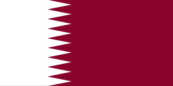
maplink
qacolor.gif
outlinemaplink
qaout.gif
visapassenger
-1
maincities
Musay'id, Dukhan, Umm Bab, Khor, Wakra, Al Khawr.
largestcity
Doha
largestcitypopulation
355 000
rankpopulation
159
Population
624 000
rankgdp
78
gdp
17466000000
rankgni
80
gni
13600000000
rankincomeorigin
29
rankincome
30
income
17714
lifeexpectation
73.4
alphabetizationrate
0.8275
natalityrate
0.0156
mortalityrate
0.00452
mortalityrateinfantile
0.01932
hdi
0.826
urbanization
0.929
precipitation
75
nationalevent
Independence Day
nationaleventfr
Jour de l'Indépendance
nationalholiday
3 September (1971)
Date de naissance aaaa-mm-jj
1971-09-03 00:00:00
8
12
location
Middle East, peninsula bordering the Persian Gulf and Saudi Arabia
terrain
mostly flat and barren desert covered with loose sand and gravel
naturalresources
petroleum, natural gas, fish
9
rgbback
16777215
todate
1
32
id
Pays
Pays en Anglais
Saudi Arabia
Pays
Arabie Saoudite
countryucasefr
ARABIE SAOUDITE
Pays en Chinois
Pays en Espagnol
Arabia Saudi
Pays en Italien
L'Arabia Saudi
Pays en Portugais
Arábia Saudi
Pays en Allemand
Saudi Arabien
countrypy
sha1 te4 a1 la1 bo2
countrylocal
Al Arabiyah as Suudiyah
countryfull
Saudi Arabia
countrynm
Saudi Arabia
ISO2
SA
ISO3
SAU
countrycodeisono
682
countrycodevehicle
SA
countrycodeolympic
KSA
countrycodeirs
SA
countrycodeirsfr
SA
countrycodeirsmixt
SA
countrycode
966
♀Féminin
1
3
3
languagesfr
Arabei
90
currency
riyal
currencyfr
riyal
currencyisocode
SAR
currencyisocodefull
SAR 682
currencypxcode
SAR
currencysymbol
SRls
currencysubdivision
100 halalat
currencyregime
US-$ (lim.flex.)
currencyvalue
0.2667
nationalityfr
Saoudienne
Capitale
Riyadh
capitalfr
Riyad
Préfixe Tél.
966
Superficie km2
2 149 690
arealand
1 960 582
landarablerate
0.0172
landforestrate
0.007
coastline
2640
summit
Jabal al Hijaz 3 133 m.
boundarycountries
Jordanie, Irak, Koweït, Qatar, Oman, Yémen, Emirats Arabes Unis.
timezonedeltabegin
3
flaglink
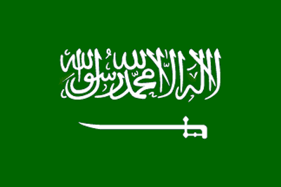
maplink
sacolor.gif
outlinemaplink
saout.gif
visapassenger
-1
maincities
Jeddah, La Mecque, Medina, Dammam, At Ta'if, Al Hufuf, Haradh, Tabuk, Buraydah.
largestcity
Riyadh
largestcitypopulation
2 619 000
rankpopulation
46
Population
22 528 000
rankgdp
23
gdp
214748000000
rankgdpppp
27
gdpppp
297967000000
rankgni
21
gni
208089000000
rankincomeorigin
56
rankincome
60
income
9240
rankincomeppp
61
incomeppp
13230
lifeexpectation
68.73
alphabetizationrate
0.624
natalityrate
0.0372
mortalityrate
0.00579
mortalityrateinfantile
0.04794
nationalevent
Unification of the Kingdom
nationaleventfr
Unification du Royaume
nationalholiday
23 September (1932)
Date de naissance aaaa-mm-jj
1932-09-23 00:00:00
9
9
location
Middle East, bordering the Persian Gulf and the Red Sea, north of Yemen
terrain
mostly uninhabited, sandy desert
naturalresources
petroleum, natural gas, iron ore, gold, copper
9
Web
rgbback
16777215
todate
1
33
id
Pays
Pays en Anglais
Singapore
Pays
Singapour
countryucasefr
SINGAPOUR
Pays en Chinois
Pays en Espagnol
Singapur
Pays en Italien
Singapore
Pays en Portugais
Singapore
Pays en Allemand
Singapur
countrypy
xin1 jia1 po1
countrylocal
Singapore
countryfull
Singapore
countrynm
Singapore
ISO2
SG
ISO3
SGP
countrycodeisono
702
countrycodevehicle
SGP
countrycodeolympic
SIN
countrycodeirs
SN
countrycodeirsfr
SP
countrycodeirsmixt
SP
countrycode
65
16
4
126
languagesfr
Chinois, Malais, Anglais, Tamoul
93
currency
dollar
currencyfr
dollar de Singapour
currencyisocode
SGD
currencyisocodefull
SGD 702
currencypxcode
SGD
currencysymbol
S$
currencysubdivision
100 cents
currencyregime
m.float
currencyvalue
0.5968
nationalityfr
Singaporienne
Capitale
Singapore
capitalfr
Singapour
Préfixe Tél.
65
Superficie km2
632,60
arealand
682,70
areawater
10
landarablerate
0.0164
landforestrate
0.033
coastline
193
summit
Bukit Timah 177 m.
timezonedeltabegin
8
zipcodelength
4
flaglink
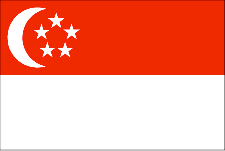
maplink
sg.jpg
outlinemaplink
sgout.gif
maincities
Serangoon, Jurong, Nee Soon.
largestcity
Singapore
largestcitypopulation
3 327 000
rankpopulation
117
Population
4 250 000
rankgdp
38
gdp
91342000000
rankgdpppp
54
gdpppp
104046000000
rankgni
39
gni
90228000000
rankincomeorigin
29
rankincome
25
income
21230
rankincomeppp
30
incomeppp
24180
lifeexpectation
78.7
alphabetizationrate
0.937
natalityrate
0.0114
mortalityrate
0.0044
mortalityrateinfantile
0.0025
hdi
0.9
urbanization
1
precipitation
2150
nationalevent
Independence Day
nationaleventfr
Jour de l'Indépendance
nationalholiday
9 August (1965)
Date de naissance aaaa-mm-jj
1965-08-09 00:00:00
2
6
location
Southeastern Asia, islands between Malaysia and Indonesia
terrain
lowland; gently undulating central plateau contains water catchment area and nature preserve
naturalresources
fish, deepwater ports
cooking
Nouilles de Riz.
8
Web
rgbback
16777215
todate
1
Notes
Nouilles de Riz.
34
id
Pays
Pays en Anglais
Spratly Islands
Pays
Iles de Spratly
countryucasefr
ILES DE SPRATLY
Pays en Chinois
Pays en Espagnol
Islas De Spratly
Pays en Italien
Isole Di Spratly
Pays en Portugais
Consoles De Spratly
Pays en Allemand
Inseln Spratly
countryfull
Spratly Islands
countrynm
Spratly Islands
ISO2
CHNS
ISO3
CHNS
countrycodeisono
156
countrycodeolympic
CHN
countrycodeirs
PG
countrycodeirsfr
PG
countrycodeirsmixt
PG
♀Féminin
5
1
126
3
currencypxcode
CNY
Préfixe Tél.
86
Superficie km2
5
arealand
5
coastline
926
timezonedeltabegin
8
flaglink
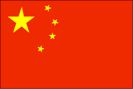
maplink
pg-map.gif
visapassenger
-1
rankincome
222
location
Southeastern Asia, group of reefs and islands in the South China Sea, about two-thirds of the way from southern Vietnam to the southern Philippines
terrain
flat
naturalresources
fish, guano, undetermined oil and natural gas pote
cooking
Southeastern Asia, group of reefs and islands in the South China Sea, about two-thirds of the way from southern Vietnam to the southern Philippines
9
rgbback
16777215
todate
1
35
id
Pays
Pays en Anglais
Sri Lanka
Pays
Sri Lanka
countryucasefr
SRI LANKA
Pays en Chinois
Pays en Espagnol
Sri Lanka
Pays en Italien
Sri Lanka
Pays en Portugais
Sri Lanka
Pays en Allemand
Sri Lanka
countrypy
si1 li3 lan2 ka3
countrylocal
Sri Lanka
countryfull
Sri Lanka
countrynm
Sri Lanka
ISO2
LK
ISO3
LKA
countrycodeisono
144
countrycodevehicle
CL
countrycodeolympic
SRI
countrycodeirs
CE
countrycodeirsfr
CE
countrycodeirsmixt
CE
♂Masulin
15
6
188
languagesfr
Cinghalais
97
currency
rupee
currencyfr
roupie de Sri Lanka
currencyisocode
LKR
currencyisocodefull
LKR 144
currencypxcode
LKR
currencysymbol
SLRs
currencysubdivision
100 cents
currencyregime
m.float
currencyvalue
0.01001
nationalityfr
Sri Lankaise
Capitale
Colombo
capitalfr
Colombo
Préfixe Tél.
94
Superficie km2
65 610
arealand
64 740
areawater
870
landarablerate
0.1343
landforestrate
0.3
coastline
1340
summit
Pidurutalagala 2 524 m.
timezonedeltabegin
5.5
flaglink
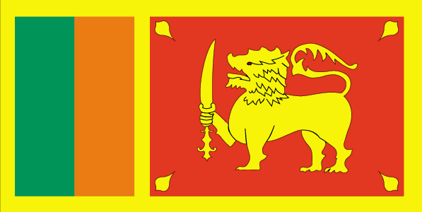
maplink
lkcolor.gif
outlinemaplink
lkout.gif
visapassenger
-1
maincities
Dehiwala, Jaffna, Moratuwa, Kandym Galle, Negombo, Trincomalee, Kotte.
largestcity
Colombo
largestcitypopulation
645 000
rankpopulation
50
Population
19 232 000
rankgdp
73
gdp
18237000000
rankgdpppp
59
gdpppp
72654000000
rankgni
74
gni
17825000000
rankincomeorigin
140
rankincome
152
income
930
rankincomeppp
136
incomeppp
3740
lifeexpectation
72.62
alphabetizationrate
0.884
natalityrate
0.01612
mortalityrate
0.00646
mortalityrateinfantile
0.01522
hdi
0.733
nationalevent
Independence Day
nationaleventfr
Jour de l'Indépendance
nationalholiday
4 February (1948)
Date de naissance aaaa-mm-jj
1948-02-04 00:00:00
4
12
location
Southern Asia, island in the Indian Ocean, south of India
terrain
mostly low, flat to rolling plain; mountains in south-central interior
naturalresources
limestone, graphite, mineral sands, gems, phosphat
cooking
Fruits de Mer
9
Web
rgbback
16777215
todate
1
Notes
Fruits de Mer
36
id
Pays
Pays en Anglais
Taiwan
Pays
Taïwan
countryucasefr
TAIWAN
Pays en Chinois
Pays en Espagnol
Taiwán
Pays en Italien
Taiwan
Pays en Portugais
Formosa
Pays en Allemand
Taiwan
countrypy
tai2 wan1
countrylocal
T'ai-wan
countryfull
Taiwan
countrynm
Taiwan
ISO2
TW
ISO3
TWN
countrycodeisono
158
countrycodeolympic
TPE
countrycodeirs
TW
countrycodeirsfr
TW
countrycodeirsmixt
TW
countrycode
886
14
6
163
languagesfr
Chinois
102
currency
new dollar
currencyfr
dollar de Taïwan
currencyisocode
TWD
currencyisocodefull
TWD 901
currencypxcode
TWD
currencysymbol
NT$
currencysubdivision
100 cents
currencyvalue
0.03191
nationalityfr
Taïwanaise
Capitale
Taipei
capitalfr
Taipei
Préfixe Tél.
886
Superficie km2
35 980
arealand
32 260
areawater
3 720
landarablerate
0.24
coastline
1566.3
summit
Hsinkao Shan 3 997 m.
timezonedeltabegin
8
flaglink
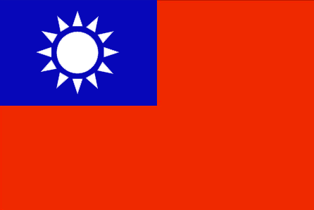
maplink
twlarge.gif
outlinemaplink
twout.gif
visapassenger
-1
maincities
Kao-hsiung, T'ai-chung, T'ai-nan, Panchiao, Chi-lung, Hsin-chu, Chia-li, Chung-li.
largestcity
Taipei
largestcitypopulation
8 030 751
rankpopulation
47
Population
22 191 087
rankgni
17
gni
321000000000
rankincomeorigin
38
rankincome
40
income
14267
lifeexpectation
76.87
alphabetizationrate
0.919
natalityrate
0.01274
mortalityrate
0.0062
mortalityrateinfantile
0.00665
nationalevent
Republic Day (Anniversary of the Chinese Revolution)
nationaleventfr
Jour de la République (Anniversaire de la Révolution Chinoise)
nationalholiday
10 October (1911)
Date de naissance aaaa-mm-jj
1911-10-10 00:00:00
8
12
location
Eastern Asia, islands bordering the East China Sea, Philippine Sea, South China Sea, and Taiwan Strait, north of the Philippines, off the southeastern coast of China
terrain
eastern two-thirds mostly rugged mountains; flat to gently rolling plains in west
naturalresources
small deposits of coal, natural gas, limestone, ma
cooking
Nouilles de Riz.
8
Web
rgbback
16777215
todate
1
Notes
Nouilles de Riz.
37
id
Pays
Pays en Anglais
Tajikistan
Pays
Tadjikistan
countryucasefr
TADJIKISTAN
Pays en Chinois
Pays en Espagnol
Tajikistan
Pays en Italien
Tajikistan
Pays en Portugais
Tajikistan
Pays en Allemand
Tajikistan
countrypy
ta3 ji2 ke4 si1 tan3
countrylocal
Jumhurii Tojikiston
countryfull
Tajikistan
countrynm
Tajikistan
ISO2
TJ
ISO3
TJK
countrycodeisono
762
countrycodevehicle
TJ
countrycodeolympic
TJK
countrycodeirs
TI
countrycodeirsfr
TI
countrycodeirsmixt
TI
♂Masulin
15
4
199
languagesfr
Tadjik
158
currency
somoni
currencyfr
rouble
currencyisocode
TJS
currencyisocodefull
TJS 762
currencypxcode
TJS
currencysymbol
100 dirams
nationalityfr
Tajik
Capitale
Dushanbe
capitalfr
Douchanbe
Préfixe Tél.
992
Superficie km2
143 100
arealand
142 700
areawater
400
landarablerate
0.0541
landforestrate
0.028
summit
Qullai Kommunizm 7 495 m.
boundarycountries
Ouzbekistan, Kirghizstan, Chine, Afghanistan.
timezonedeltabegin
5
flaglink
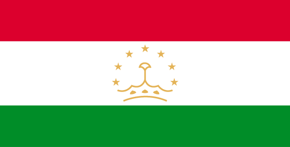
maplink
tjcolor.gif
outlinemaplink
tjout.gif
visapassenger
-1
maincities
Khodzent, Kulyab, Kurgan-Tyube, Kanibadam, Tursunzade, Khorogl.
largestcity
Dushanbe
largestcitypopulation
664 000
rankpopulation
98
Population
6 305 000
rankgdp
149
gdp
1553000000
rankgdpppp
135
gdpppp
6976000000
rankgni
162
gni
1343000000
rankincomeorigin
195
rankincome
209
income
210
rankincomeppp
188
incomeppp
1040
lifeexpectation
64.47
alphabetizationrate
0.994
natalityrate
0.03263
mortalityrate
0.00842
mortalityrateinfantile
0.1121
hdi
0.677
urbanization
0.277
precipitation
569
nationalevent
Independence Day (or National Day)
nationaleventfr
Jour de l'Indépendance (ou Jour National)
nationalholiday
9 September (1991)
Date de naissance aaaa-mm-jj
1991-09-09 00:00:00
8
8
location
Central Asia, west of China
terrain
Pamir and Alay Mountains dominate landscape; western Fergana Valley in north, Kofarnihon and Vakhsh Valleys in southwest
naturalresources
hydropower, some petroleum, uranium, mercury, brow
9
Web
rgbback
16777215
todate
1
38
id
Pays
Pays en Anglais
Thailand
Pays
Thaïlande
countryucasefr
THAILANDE
Pays en Chinois
Pays en Espagnol
Tailandia
Pays en Italien
La Tailandia
Pays en Portugais
Tailândia
Pays en Allemand
Thailand
countrypy
tai4 guo2
countrylocal
Prathet Thai
countryfull
Thailand
countrynm
Thailand
ISO2
TH
ISO3
THA
countrycodeisono
764
countrycodevehicle
T
countrycodeolympic
THA
countrycodeirs
TH
countrycodeirsfr
TH
countrycodeirsmixt
TH
countrycode
66
♀Féminin
12
6
161
languagesfr
Thaï
103
currency
baht
currencyfr
baht
currencyisocode
THB
currencyisocodefull
THB 764
currencypxcode
THB
currencysymbol
Bht or Bt
currencysubdivision
100 stang
currencyregime
float
currencyvalue
0.02457
nationalityfr
Taïlandaise
Capitale
Bangkok
capitalfr
Bankok
Préfixe Tél.
66
Superficie km2
514 820
arealand
511 770
areawater
2 230
landarablerate
0.3288
landforestrate
0.289
coastline
3219
summit
Doi Inthanon 2 595 m.
boundarycountries
Birmanie, Laos, Cambodge, Malaisie.
timezonedeltabegin
7
flaglink
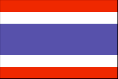
maplink
thcolor.gif
outlinemaplink
thout.gif
visapassenger
-1
maincities
Nakhon Ratchasima, Phuket, Chiang Mai, Songkhla, Khon Kaen, Chon Buri, Nakhon Si Thammarat, Ban Hat Yai, Phitsanulok.
largestcity
Bangkok
largestcitypopulation
6 547 000
rankpopulation
19
Population
62 014 000
rankgdp
33
gdp
142953000000
rankgdpppp
20
gdpppp
470992000000
rankgni
31
gni
135877000000
rankincomeorigin
105
rankincome
115
income
2190
rankincomeppp
87
incomeppp
7450
lifeexpectation
71.24
alphabetizationrate
0.93
natalityrate
0.01637
mortalityrate
0.00686
mortalityrateinfantile
0.02183
precipitation
1498
nationalevent
Birthday of King PHUMIPHON
nationaleventfr
Anniversaire du Roi PHUMIPHON
nationalholiday
5 December (1927)
Date de naissance aaaa-mm-jj
1927-12-05 00:00:00
4
4
location
Southeastern Asia, bordering the Andaman Sea and the Gulf of Thailand, southeast of Burma
terrain
central plain; Khorat Plateau in the east; mountains elsewhere
naturalresources
tin, rubber, natural gas, tungsten, tantalum, timb
cooking
Meilleurs Riz Parfumés du Monde.
8
Web
rgbback
16777215
todate
1
Notes
Meilleurs Riz Parfumés du Monde. Grâce à son intelligence suprême,
Ce Lapin de Feu gère bien la cohabitation de la modernité et le boudhisme traditionnel. Avec un tempérament chaud, il est aimé de tous.
39
id
Pays
Pays en Anglais
East Timor
Pays
Timor Oriental
countryucasefr
TIMOR ORIENTAL
Pays en Chinois
Pays en Espagnol
Timor (Del este)
Pays en Italien
Timor (Orientale)
Pays en Portugais
Timor (Oriental)
Pays en Allemand
Timor (Östlich)
countrypy
dong1 di4 wen4
countrylocal
Timor
countryfull
East Timor
countrynm
East Timor
ISO2
TL
ISO3
TLS
countrycodeisono
626
countrycodeolympic
TLS
countrycodeirs
TL
countrycodeirsfr
TL
countrycodeirsmixt
TOL
♂Masulin
15
6
114
languagesfr
Portugais
51
currency
rupiah
currencyfr
Escudo de Timor
currencyisocode
IDR
currencyisocodefull
IDR 360
currencypxcode
IDR
currencysymbol
Rp
currencysubdivision
100 sen (no longer used)
currencyregime
m.float
currencyvalue
0.0001
Capitale
Dili
capitalfr
Dili
Préfixe Tél.
670
Superficie km2
18 997
coastline
706
summit
Tata Mailau 2 960 m.
boundarycountries
Indonésie.
timezonedeltabegin
7
timezonedeltaend
9
flaglink
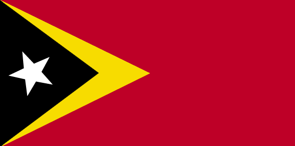
maplink
etimorcl.gif
visapassenger
-1
maincities
Ocussi, Manatuto, Ermera, Viqueque, Same, Ainaro, Maliana, Suai, Baucau.
largestcity
Dili
rankpopulation
152
Population
877 000
rankgdp
173
gdp
341000000
rankgni
194
gni
372000000
rankincomeorigin
167
rankincome
181
income
460
lifeexpectation
65.2
alphabetizationrate
0.48
natalityrate
0.02775
mortalityrate
0.00641
mortalityrateinfantile
0.05047
nationalevent
Independence Day
nationaleventfr
Jour de l'Indépendance
nationalholiday
28 November (1975)
Date de naissance aaaa-mm-jj
1975-11-28 00:00:00
2
4
location
Southeastern Asia, northwest of Australia in the Lesser Sunda Islands at the eastern end of the Indonesian archipelago; note - East Timor includes the eastern half of the island of Timor, the Oecussi (Ambeno) region on the northwest portion of the island
terrain
mountainous
naturalresources
gold, petroleum, natural gas, manganese, marble
9
rgbback
16777215
todate
1
40
id
Pays
Pays en Anglais
Turkey
Pays
Turquie
countryucasefr
TURQUIE
Pays en Chinois
Pays en Espagnol
Turquía
Pays en Italien
La Turchia
Pays en Portugais
Turquia
Pays en Allemand
Die Türkei
countrypy
tu3 er3 qi2
countrylocal
Turkiye
countryfull
Turkey
countrynm
Turkey
ISO2
TR
ISO3
TUR
countrycodeisono
792
countrycodevehicle
TR
countrycodeolympic
TUR
countrycodeirs
TU
countrycodeirsfr
TU
countrycodeirsmixt
TU
countrycode
90
♀Féminin
18
6
166
languagesfr
Turc
105
currency
new lira
currencyfr
livre turque
currencyisocode
TRY
currencyisocodefull
TRY 949
currencypxcode
TRY
currencysymbol
YTL
currencysubdivision
100 new kurus
currencyregime
float
currencyvalue
0.74129
nationalityfr
Turque
Capitale
Ankara
capitalfr
Ankara
Préfixe Tél.
90
Superficie km2
780 576
arealand
770 760
areawater
9 820
landarablerate
0.3453
landforestrate
0.133
coastline
7200
summit
Büyük Agri Dagi 5 185 m.
boundarycountries
Grèce, Bulgarie, Géorgie, Arménie, Azerbaïdjan, Iran, Irak, Syrie.
timezonedeltabegin
2
flaglink
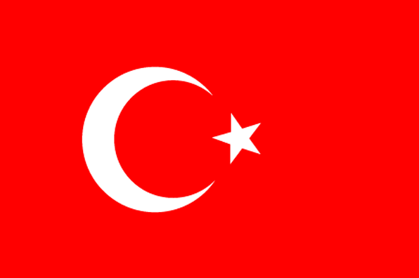
maplink
treunewl.gif
outlinemaplink
tr.gif
visapassenger
-1
maincities
Istanbul, Izmir, Adana, Bursa, Gaziantep, Konya, Kayseri, Eskisehir, Mersin, Diyarbakir.
largestcity
Istanbul
largestcitypopulation
7 911 000
rankpopulation
15
Population
70 712 000
rankgdp
21
gdp
240376000000
rankgdpppp
17
gdpppp
478891000000
rankgni
24
gni
197788000000
rankincomeorigin
93
rankincome
103
income
2800
rankincomeppp
94
incomeppp
6710
lifeexpectation
71.8
alphabetizationrate
0.8144
natalityrate
0.01759
mortalityrate
0.00595
mortalityrateinfantile
0.0442
precipitation
697
nationalevent
Independence Day
nationaleventfr
Jour de l'Indépendance
nationalholiday
29 October (1923)
Date de naissance aaaa-mm-jj
1923-10-29 00:00:00
10
12
location
southeastern Europe and southwestern Asia (that portion of Turkey west of the Bosporus is geographically part of Europe), bordering the Black Sea, between Bulgaria and Georgia, and bordering the Aegean Sea and the Mediterranean Sea, between Greece and Syr
terrain
high central plateau (Anatolia); narrow coastal plain; several mountain ranges
naturalresources
antimony, coal, chromium, mercury, copper, borate,
7
Web
rgbback
16777215
todate
1
| Pays/Territoires | Régions en Chine | Provinces de Chine | Régions en France | Départements de France | Provinces du Monde | Villes/Villages | Localités | Continents du Monde | Vins AOP
